Data preparation
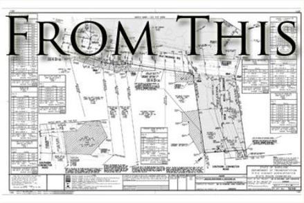
Detailed 3D models built from paper plans and electronic design files for construction, bid quantities, and GPS control.
Accurate. Efficient. Field-ready.
Professionally designed 3D models for GPS machine control and automated machine guidance—built from your plans and ready for the field.
Start a projectExplore servicesWhat we do
Accurate data preparation makes the difference between a model that merely looks right and one that performs on the ground.
Detailed 3D models built from paper plans and electronic design files for construction, bid quantities, and GPS control.
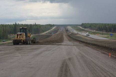
Field-ready files for Trimble, Leica, and Topcon systems, delivered in the formats your crew needs.
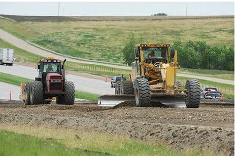
Responsive technical support and rapid rough-grade files to help get dirt moving without delay.
Built for construction
Roadway and site projects depend on exact alignments, feature lines, breaklines, transitions, and elevations—not just a generic surface.
Ready when you are